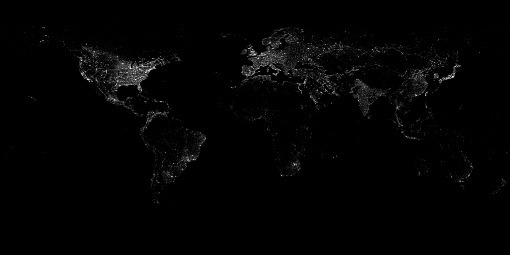
 Image Credit: Marc Imhoff of NASA GSFC and Christopher Elvidge of NOAA NGDC. Image by Craig Mayhew and Robert Simmon, NASA GSFC.
 This image of Earth’s city lights was created with data from the Defense Meteorological Satellite Program (DMSP) Operational Linescan System (OLS). Originally designed to view clouds by moonlight, the OLS is also used to map the locations of permanent lights on the Earth’s surface.
The image is hosted at NASA's Visible Earth pages, were an ultra high resolution (1.2Mb Tiff) version of the picture is available.
More Information From NASA.


No comments:
Post a Comment