The 'Big Island' is 93 miles (150 km) across, representing approximately 62% of the total land area of the Hawaiian islands. It is dominated by two volcanic peaks, the 4170-metre-high Mauna Loa in the south of the island and the 4250-metre-high Mauna Kea.
Mauna Kea rises a total of 10,203 metres from the sea floor, so that if counted from base to peak this shield volcano is actually the tallest mountain on Earth. Mauna Kea , the highest peak on the island, rises above 40% of the Earth's atmosphere and 90% of its water vapour, this has made it an ideal site for astronomical observatories.
volcanic activity is still occurring on the island, between January 1983 and September 2002, 543 acres (220 ha) of land were added to the island by lava flows from Kīlauea volcano. The downside to this activity is the danger posed to the islands inhabitants, indeed, several towns have been destroyed by lava flows from Kīlauea : Kapoho (1960), Kalapana (1990), and Kaimu (1990).
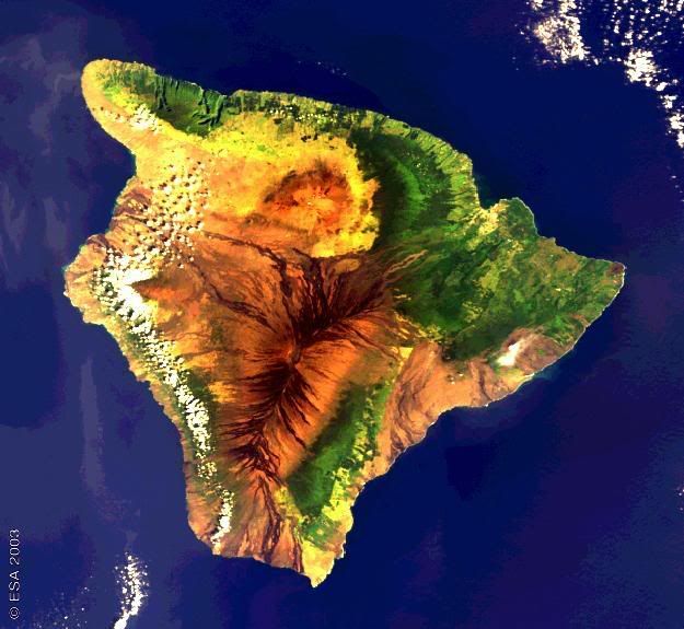
This image of the big island of Hawaii was captured by the ESA Envisat's Medium Resolution Imaging Spectrometer (MERIS), working at full resolution it gives this image a spatial resolution of 300 metres. In the picture, Light green and yellow areas correspond to human settlements and plantations growing the main crops of the island: sugar cane, coffee and pineapples.
More Information


No comments:
Post a Comment